FIG Commission 5 and 6 Workshop on “Innovative Technologies
for an Efficient Geospatial Management of Earth Resources”
Ust-Kamenogorsk, Eastern Kazakhstan, 3-7 September 2010
|

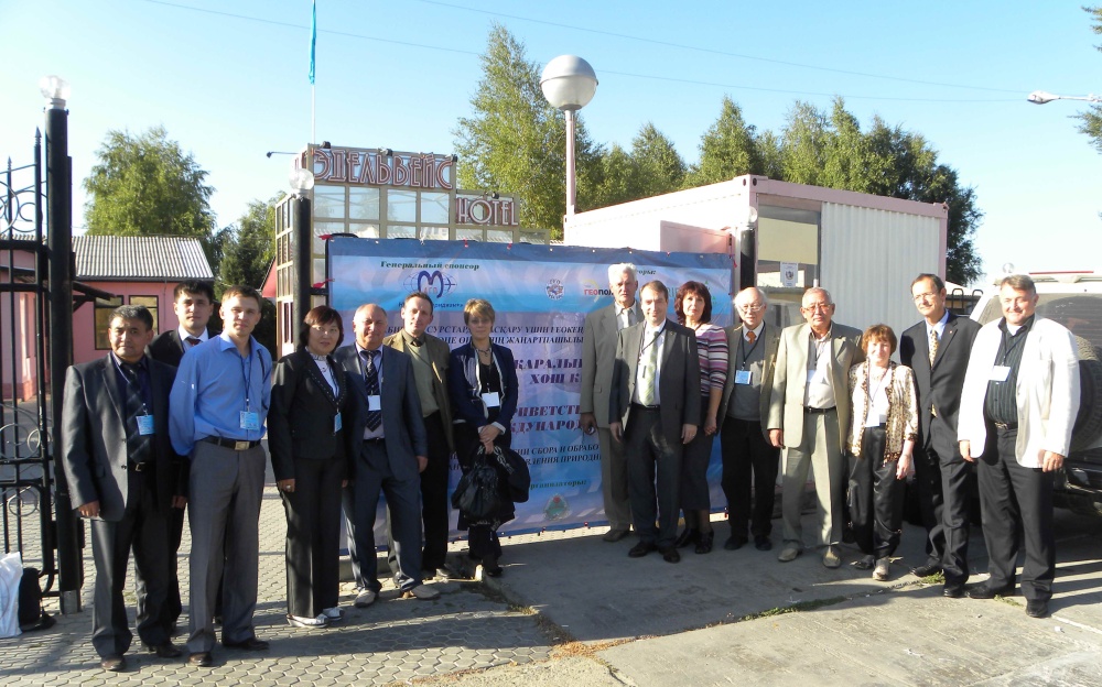
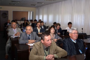
Participants at the Workshop in Kazakhstan. |
FIG Commissions 5 (Positioning and Measurement) and 6 (Engineering
Surveys) together with Agency of the Republic of Kazakhstan for Land
Resources Management, D. Serikbaev East Kazakhstan State Technical
University (EKSTU), Siberian State Academy of Geodesy (SSGA) and Regional
Scientific and Technological Park “Altai” organised a Workshop on “Innovative
Technologies for an Efficient Geospatial Management of Earth Resources”.
Venue of the Workshop was in Ust-Kamenogorsk, Eastern Kazakhstan, on 3-7
September 2010. The workshop was supported by “GosNPTSzem”, Regional
Committee on Land Resources Management, Interregional Land Inspection of the
Agency of RK for Land Resources Management for East Kazakhstan and Pavlodar
Regions and JSC “Bassar Electronics”, GIS Association, Geoprofi Magazine,
ITE Siberian Fair and others. NP AGP Meridian + (Research and Production
Aerial Surveying Company, Moscow, Russian Federation) was its general
sponsor. Among other sponsors following should mentioned, “GEO-KURS” LLC
(Kazakhstan), “Geopolis” LLC (Kazakhstan), and “NPC GRID” LLC (Kazakhstan).
The Conference was attended by about 100 participants from Germany,
Switzerland, Belgium, Czech Republic, Russia, various universities and
companies. Among these companies were following: Leica Geosystems AG
(Switzerland), technet-rail 2010 GmbH (Germany), VisionMap Ltd. Company,
(Israel), NP AGP Meridian + (Russian Federation), ERDAS (Switzerland),
“Geo-Alliance” (Russian Federation), «ЕАТС» LLC (Kazakhstan), Foundation for
Assistance to Small Innovative Enterprises (FASIE) for Novosibirsk Region,
“GosNPTSzem” (Kazakhstan), “ITE Siberian Fair”, Regional Scientific and
Technological Park “Altai”, Karaganda State Technical University
(Kazakhstan), Volgograd State Agricultural Academy (Russian Federation),
KazNTU named after K. I. Satpaevа, Stuttgart University, Institute for
Applications of Geodesy to Engineering (Germany), etc. List of participants
included following key representatives: V. V. Soloviev, Head of the
Interregional Land Inspection of the Agency of RK for Land Resources
Management for East Kazakhstan and Pavlodar Regions, R. T. Kaimbekov,
Director of “Kazgeodesy”, S. V. Levashov, College of Geodesy and
Cartography, Kazakhstan, S. A. Babasov, Director General of
“Geostroiinvest” LLC, Kazakhstan, Prof. Dr. F. K. Nizametdinov,
Karaganda State Technical University (Kazakhstan), D. G. Sarmanov,
First Deputy, “GosNPTSzem” (Kazakhstan), and A. V. Ionchenkov,
Director General, “GEO-KURS” LLC (Kazakhstan).
Within the framework of the workshop there were almost 60 presentations.
The participants and guests were welcomed on the official ceremony by: Prof.
Dr. T. T. Ipalakov, D. Serikbaev East Kazakhstan State Technical
University, Prof. Vladimir A. Seredovich, Vice Rector on Innovative
Activities, Siberian State Academy of Geodesy (SSGA), N. B. Kalabaev,
Chairman, Education and Science Control Committee under the Ministry of
Education and Science of the Republic of Kazakhstan, Dr.-Ing. Ivo Milev,
technet-rail 2010 GmbH (for the FIG commissions 5 and 6), Germany, Prof. Dr.
Milan Konecny, Immediate Past President of International Cartographic
Association (ICA), Vice President of International Society on Digital Earth
(ISDE), Czech Republic, Em. Prof. Gottfried Konecny, Honorary Member
of the International Society for Photogrammetry and Remote Sensing (ISPRS),
Germany, and A. A. Brusentsov, Deputy Akim of Ust-Kamenogorsk City,
Kazakhstan.
A comprehensive set of topics related to the theme of the Workshop was
discussed including following:
- Prediction of Earth’s Surface and Engineering Structures
Deformations and Movements in Areas of Tectonically and Technogenically
Active Hazardous Zones Using Geodetic Observations
- Automated Geodetic Monitoring Systems Applied to Construction of
Engineering Structures and Their Maintenance
- Terrestrial Laser Scanning Systems, Their Usage in Architecture,
Civil Engineering and Industry
- GIS Technologies for Designing, Construction, Operation and
Maintenance of Engineering Objects and Facilities
- Provision of Geo-information for Solving of Environmental Problems
- Methods of Studying Hazardous Natural-Technogenic Processes, Their
Prediction and Cartographic Modeling
- Geospatial Data Infrastructure
- Real time GNNS Application in Designing of Engineering Objects and
Facilities
D. Serikbaev East Kazakhstan State Technical University has published the
technical program and workshop proceedings on paper and a CD-ROM (including
presentations) and the proceedings will be published as online publication
on the FIG web site.
The main outcomes of the seminar include following recommendations and
proposals:
Resolutions
A temporal working group with members from the organizing committee and
participants on the conference present following resolution proposal:
Technical based:
- Force the development of more powerful algorithms and applications
for raising the acceptance of the method and efficiency by using
automated processing of the laser scan data acquisition method.
- Encourage and support the development of more powerful devices and
GUI as a solution that will to bring the GIS data to the field.
- Take in account as middle term priorities the future development of
a GNSS infrastructure based on the GLONASS and GPS technology as the
required frame for the development of high technologies and applications
in the field of geoinformatics, terrestrial laser scanning, remote
sensing, monitoring of deformation in environment during the
exploitation of earth resources.
Regional development and education based:
- Kazakhstan shall be encouraged to continue to develop high level
academic education, research capabilities in the geomatics field, which
is in highest importance of accessible economy in the growing country
economy.
- International donators can be approach to development education as a
research program in key universities and special case the recommendation
to the Ministry of Education and Science of the Republic of Kazakhstan
to support D. Serikbaev East Kazakhstan State Technical University
(EKSTU) and Kazakhstan National Technical University named after K. I.
Satpaev (KazNTU) to establish an international supported council for a
new Ph. D. program in geodesy and geoinformatics.
- Support the application from the D. Serikbaev East Kazakhstan State
Technical University to become a new member of the FIG
- The World Bank should be approach for the support of installation of
an efficient cadaster system development for achieving the Millennium
Goals.
Other recommendations include that research and education in
geoinformatics could be helpful not only for students but as well as a
platform for integration between geodesy, cartography, remote sensing,
photogrammetry, etc. This event was done in co-operation with FIG but in the
future it would be helpful to have meetings on lower level. JB GIS sister
organizations are available communicate and create new added values.
FIG was represented by the organization committee on the reception
organized by the Rector of D. Serikbaev East Kazakhstan University during
the “Seventh Forum of Interregional Cooperation of Russia and Kazakhstan”
held on the level of presidents from Russian Federation and Kazakhstan..
This first workshop in Kazakhstan has been largely supported and promoted
by the Siberian State Academy of Geodesy from Novosibirsk that is also
supporting “GEO-Siberia” and we are very grateful for their efforts to share
and contribute their experience to the Kazakhstan organization team.
Many thanks to Prof. Kaisar Khasenov, Head of the Department of
Geodesy, Land Management and Cadaster at D. Serikbaev East Kazakhstan State
Technical University, and his team for the logistics, local organization and
great flexibility during the conference.
Dr. Ivo Milev
E-mail:
ivo.milev@technet-rail.de
Assoc. Prof. Kaisar B. Khasenov, PhD
E-mail:
hasenovkb@gmail.com
Prof.
Vladimir A. Seredovich
E-mail:
v.seredovich@list.ru
Proceedings will be available on the FIG Commission 5 and 6 websites
soon.

Prof.
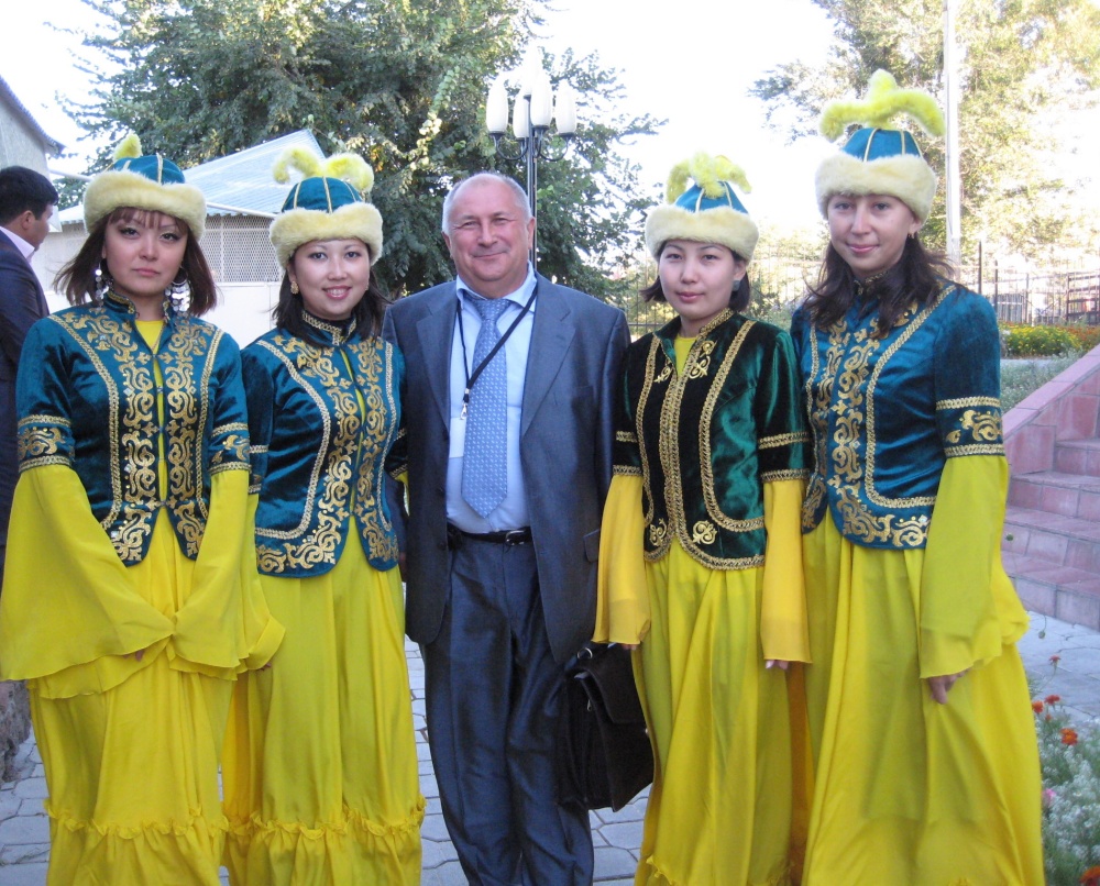
Seredovich from SSAG together with student from EKSTU |

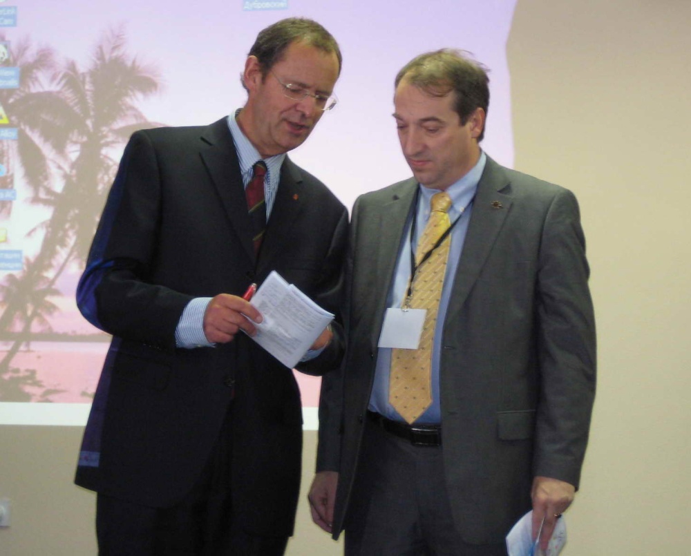
Joel van Craenenbroeck and Ivo Milev were representing
FIG Commissions 5 and 6 at the workshop |
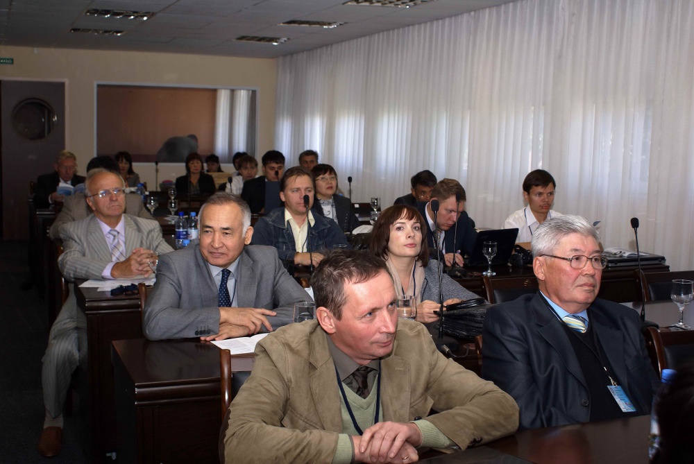
Participants to the workshop
|
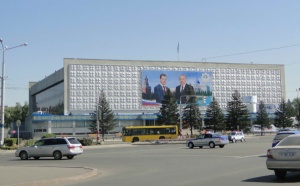
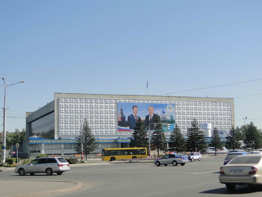
Seventh Forum of Interregional Cooperation of Russia and Kazakhstan |
15 October 2010
|