News in 2014

|
UN-GGIM-AP - Third Plenary Meeting
10 – 12 November 2014 Kuta, Bali, Republic of Indonesia
The Regional Committee was established pursuant to Resolution 16 of the
13th United Nations Regional Cartographic Conference for Asia and the
Pacific (UNRCC-AP) held in Beijing, PR China in 1994 and was known as the
Permanent Committee on GIS Infrastructure for Asia and the Pacific (PCGIAP)
until the 19th UNRCC-AP held in Bangkok in 2012 where the name was amended
to the current.
The Regional Committee continues to operate under the United Nations
Regional Cartographic Conference for Asia and the Pacific (UNRCC-AP) and
submit its report as well as recommendations to the Conference. The aim of
the Regional Committee includes to identify regional issues relevant to
geospatial information management, take necessary actions and contribute to
global discussions so that the economic, social and environmental benefits
of geospatial information will be maximized in Asia and the Pacific region.
During this current term (2012 – 2015), the Regional Committee has three
working group, namely –
Group 1 Geodetic Reference Framework for Sustainable Development
Group 2 Data Sharing and Integration for Disaster Management
Group 3 Place-Based Information Management for Economic Growth
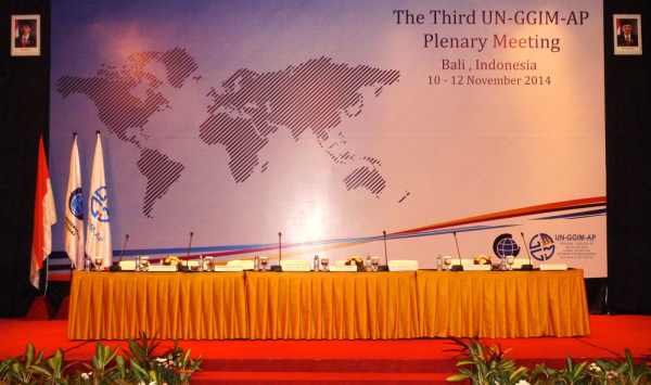
Plenary Meetings of UNGGIM-AP are annual meetings hosted by a member
state and the Third Plenary Meeting was hosted by Badan Informasi Geospasial
Indonesia (Indonesian Geospatial Information Organisation) who also a member
of the UNGGIM-AP Executive Board. The Meeting was presided by Dr. Li
Pengde (Deputy Director General, National Administration of Surveying,
Mapping and Geoinformation, China) assisted with UNGGIM-AP Vice President
Dr. Choe Byong-nam (Director General of National Geographic
Information Institute, Republic of Korea), UNGGIM-AP Secretary Dr. Hiroshi Murakami (Director General, Planning Department, Geospatial
Information Authority of Japan) and members of the Executive Board of
UNGGIM-AP. Liaison and international organisation included UNGGIM
Secretariat, UN-Habitat/GLTN, UNESCAP, ISCGM, ICA and FIG.
The main theme for the Third Plenary Meeting is that of disaster
management and the sub-theme, capacity development. Sessions were scheduled
with presentations from member states addressing the theme and the
sub-theme.
 |
Within the programme liaison reports were presented by liaison
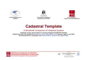
and international organization present and FIG’s presentation
included a progress report on Cadastral Template 2.0. The GGIM
Secretariat also presented outcomes of the 4th Session of the
Committee of Experts on GGIM as well as the 3rd High Level Forum on
GGIM. Each of the three working groups also presented their reports
and in particular, the FIG/IAG/ICG/UNGGIM-AP Working Group 1 on
Reference Frame in Practice Workshop was also reported together with
FIG Publication Number 64 – Reference Frame in Practice Manual. |
In addition, there was also a Special Session on Land Tenure jointly with
UN-Habitat/GLTN and supported by the World Bank and FIG.
The Regional Committee resolved to encourage Member States to ensure that
initiatives and activities related to sustainable development and Post 2015
Development Agenda include geospatial information within their national
frameworks; to participate in and contribute to the Third UN World
Conference on Disaster Risk Reduction to be held in Sendai, Japan from 14-18
March 2015 and to actively contribute to the sharing of information, best
practices and case studies through the UNGGIM knowledge base portal.
As a result of the joint special session on land tenure, the Regional
Committee recognized that Asia-Pacific, a region covering approximately 30%
of the global land mass; of differing levels of economic development; home
to 4.1 billion or 2/3 of the world’s population and with increasing levels
of urbanization; where 7 of the world’s 10 largest cities is expected to be
located by 2025; where incidences of undernourishment and poverty remains
high; a region prone to natural disasters from climate phenomena; and where
climate change is of increasing severity. The Committee also accepts that
land is a valuable and scarce resource involving a wide range of rights and
responsibilities, when poorly administered leads to conflict, degradation
and other problems, becomes a binding constraint for sustainable growth and
development.
The Regional Committee expressed its appreciation to the Global Land Tool
Network facilitated by UN-Habitat for cooperating with UN-GGIM-AP to convene
the Special Session on Land Tenure, and the World Bank and FIG for their
support and contribution towards an informative and successful session. The
Committee encourages National Geospatial Information Agencies and National
Mapping Agencies to engage and contribute towards effective national land
information, administration and management systems with their fundamental
data leading towards better governance, management and administration of
land. The Committee invites UN-Habitat/Global Land Tool Network to
collaborate with UN-GGIM-AP towards addressing Land Tenure Challenges in
Asia-Pacific and to contribute to UN-GGM-AP’s activities. For FIG, the
Regional Committee resolved to support the development of the Cadastral
Template 2.0, the successor to the PCGIAP supported Cadastral Template and
encourage Member States to contribute information to the Cadastral Template
2.0 towards promoting better knowledge dissemination and sharing and
promoting better practices.
The 4th Plenary Meeting will be held in conjunction with the 20th United
Nations Regional Cartographic Conference for Asia and the Pacific that will
be hosted by the Republic of Korea (6th – 9th October 2015)
CheeHai Teo
November 2014
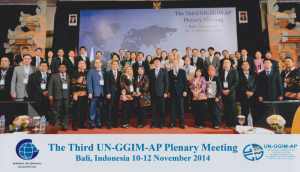
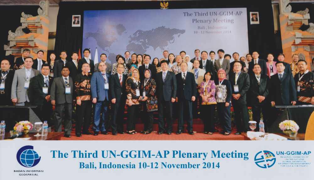
Group Photograph, from BIG Indonesia |
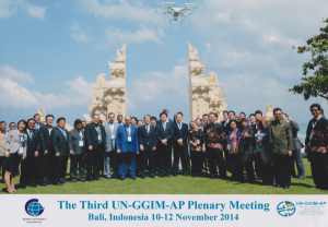
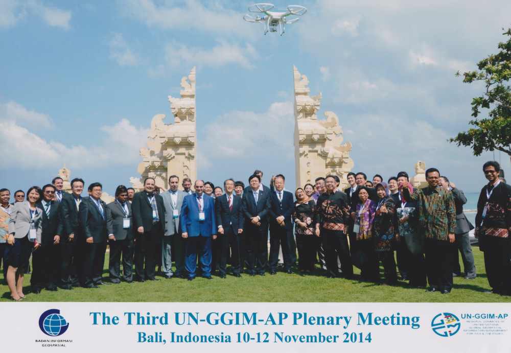
Group Photograph, from BIG Indonesia |
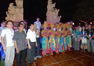
Social event, Balinese culture themed dinner hosted by BIG Indonesia |
|
10 November 2014
|