News in 2023
|
FIG at the 9th Session of the United Nations Global Geospatial
Information Management: Africa
14-18 August 2023, Cape Town, South Africa
Following our appointment by the President of FIG, we,
Mohammed Mamman Kabir and Ms. Paula Dijkstra
duly represented the FIG at the 9th Session of the UN-GGIM: Africa and
SDG Data Alliance Workshops as we were mandated. The event ran
concurrently with the 31st Session of the International Cartographic
Conference (ICC) at Cape Town International Convention Center.
We were able to attend all the sessions of the UN-GGIM: Africa and
also squeezed time to attend copious sessions of the ICC with the aim of
learning some lessons from the Cartographers’ Conference, if any, that
can be useful to the FIG.
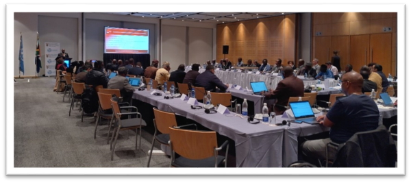
The 9th Session was attended by more than 80 delegates. Participants
were present from 25 African countries and dozens of resource persons
from international organizations, academia, industry, and private sector
organizations. Delegates from France, Japan, Iran, Pakistan,
Netherlands, Thailand, Turkey, Yemen, United Kingdom, and the United
States of America represented several organizations. These included but
not limited to Bill and Melinda Gates Foundation, SDG Data Alliance,
Esri (United States); Trimble; International Cartographic Association
(ICA); PASCO Corporation (Japan); PLACE (United States); PVBLIC
Foundation; and the World Geospatial Industry Council (Netherlands); GIZ
(Germany); RCRMD (Kenya), AfriGIST (Nigeria); JICA (Japan); RPAG (Cote
d’Ivoire).
Among other areas of concern to UN-GGIM: Africa, the sessions
deliberated and passed resolutions on various issues bordering on
geospatial information policy, legal and technical framework. These
included geospatial governance, business models, and financial
appropriation framework; the IGIF and integration of statistical and
geospatial information; models for geocoding population and housing
census data; SDGs and country-level action plans; and the Africa
Geodetic Reference Frame. The sessions also conducted high level
interactions on new trends and developments in the field of geospatial
information, and Capacity Development Strategic Frameworks for advancing
geospatial information in Africa.
The FIG-Africa Regional Network Report
The chairperson of the FIG-ARN delivered reports on the Objectives
and Activities of International Federation of Surveyors-Africa Regional
Network. The report apprised the participants about the FIG as an
organization and areas of common interests between the Federation and
the UNGGIM.
The Chair of ARN presenting on the activities of ARN
The presentation highlighted the activities of Africa Regional
Network and established the nexus between the Network and UN-GGIM:
Africa particularly in areas of capacity development and promotion of
geospatial information management in Africa. The report was well
received by the meeting and the 9th Session arrived at the following
resolutions at the end of the meeting;
- The UN-GGIM Africa to partner and collaborate with FIG-ARN in
pursuing a common objectives of capacity development and effective
implementation of geospatial information management in Africa
- The 9th session granted FIG-ARN an observer status in the
membership of the UN-GGIM: Africa
- Inspired by the ARN reported activities of the FIG-YSN in
Africa, the 9th Session agreed to form the UN-GGIM: Africa-Young
Network
- To further cement the collaboration between the FIG and UN-GGIM
Africa, the 9th Session enjoined all African countries and relevant
stakeholders to attend the 2024 FIG Working Week in Ghana and to
present position papers at the various sessions
- The Secretariat, in conjunction with the FIG, will convene
UN-GGIM Africa technical sessions at the 2024 FIG Working Week
SDG Data Alliance Workshops
In conjunction with the ICC and UNGGIM : Africa two workshops were
conducted by the SDG Data Alliance. The SDG Data Alliance is an
international multi stakeholder partnership that engages different
private and public sector partners, including W.K. Kellogg Foundation,
Esri, PVBLIC Foundation, Chia and the United Nations. The Alliance was
created to bring geographic information systems, or GIS, technology and
capabilities to developing nations in order to accelerate achievement of
the Sustainable Development Goals (SDGs) and on reducing inequalities.
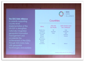
Through the SDG Data Alliance and other capacity development
initiatives, many countries are creating and implementing UN-IGIF
Country-level Action Plans. The SDG Data Alliance partners, and guided
by the UN-GGIM Secretariat, are working with several African countries
to develop Country-level Action Plans and SDG data hubs which are
country owned and country led.
The workshops provided valuable insights and lessons learned on how
land professionals can contribute to accelerating the achievements of
the SDGs for the FIG Task Force on SDG’s.
|
Participation to the workshop provided the chairperson of the FIG
Task Force on Sustainable Development Goals valuable insights for the
further development of the work plan. Also the chairperson was able
connect with representatives from different partner organisations. This
will help to further align the work of the Task Force with global,
national and local initiatives.
|
Cartographers Conference
The 31st International Cartographers Conference was successful and
very engaging, bringing together 880 delegates from 58 countries.
Including 33 countries from Africa. There were 415 participants from
South Africa. The 31st International Cartographers Conference provided a
technical programme with parallel sessions and had programmed 6 to 8
parallel sessions.
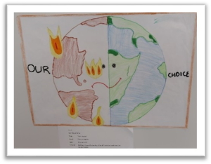
Throughout the Cartographers Conference the SDG’s and Climate were
addressed in both keynotes and technical programme. Awareness and
practical contributions on mapping the SDGs and visualizing climate
impact on the map seemed to be well embedded.
|
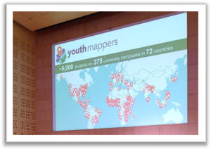
During several sessions in the technical programme as well as
keynotes a reference was made to Youth Mappers. It is worthwhile
to connect the FIG YSN to the representatives of Youth Mappers
to share experiences and knowledge.
|
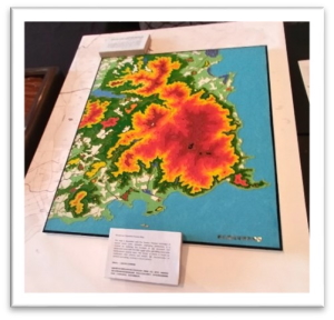
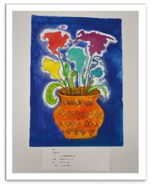
World Map Drawing Competition
The exhibition of the 31st International Cartographers Conference
hosted also the ‘Barbara Petchenik World Map Drawing Competition’. Every
delegate received a voting slip to vote for him/herself the most
beautiful map made by children in different age groups, as well as
professionals. It was a nice and quiet area to visit. Also, it attracted
people to the exhibition hall.
Impression of the reception in the exhibition hall, Xhosa
face painting with dots
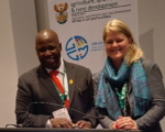
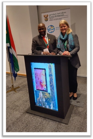
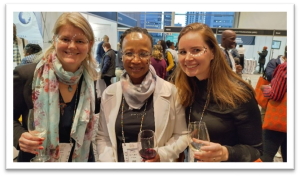
Paula Dijkstra, Chair FIG Task force on FIG_SDG and Mohammed Mamman Kabir
Chair FIG-ARN
September 2023